Looking for a job that takes you around the world—or the option to build your career a little closer to home? From the Alaska Peninsula to the Sahara Desert, surveying engineers apply knowledge and skills in collecting field data, creating maps and engineering drawings, locating ground features with exacting precision, and much more. You will use drones and cutting-edge technology to assist in mapping and guiding development and construction projects, working in a variety of environments with a broad arena of industry professionals such as civil engineers, architects, land development planners, and other professionals to complete projects. The sky’s the limit with a four-year bachelor of science (B.S.) in Surveying Engineering degree. If you prefer, you can also get a two‑year associate degree (A.EngT.) in Surveying Engineering Technology, making you eligible for a surveying license in Pennsylvania.
Request Info about the Surveying Engineering program

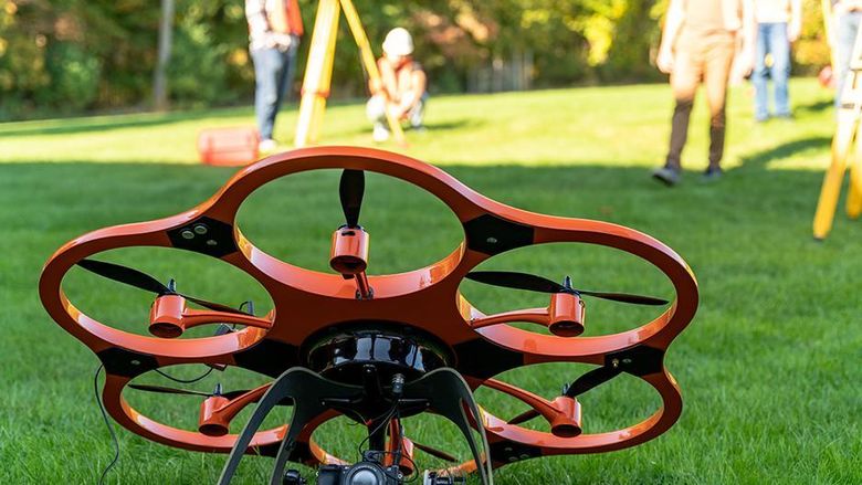
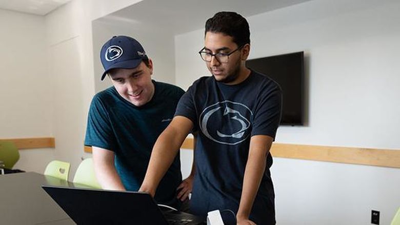
Surveying Engineering (SE) studies focus on applied mathematics, science, and surveying principals. Surveyors work with geospatial data and high-tech equipment such as satellite positioning (GPS/GNSS), laser scanning (LiDAR), drones, photogrammetry, and robotic total stations. You will develop your ability to identify, formulate, and solve problems. You will learn 3D modeling, visualization, and mapping, and get hands-on experience working with instruments for geospatial data collection and software for data processing and modeling.
Both Surveying Engineering and Surveying Engineering Technology degrees are offered through the Penn State College of Engineering’s School of Engineering Design, Technology and Professional Programs (SEDTAPP). Penn State Wilkes-Barre is one of only 6 locations in the U.S. offering an engineering degree that combines surveying, geomatics, and geospatial studies.
Join us for a class. Chart the uncharted; get your degree in Surveying Engineering.

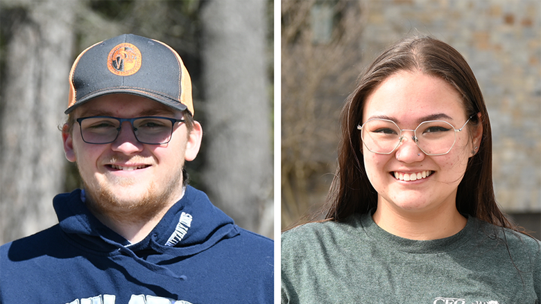
I started looking for degrees in surveying engineering in Dominica but found that no schools offered the degree, so I began an international search. I found Penn State, which has a great reputation. It was very important to me to have a degree that was internationally recognized.