“Realistic Virtual Reality Environments from Point Clouds” was featured in a story published by GIM International, a magazine that serves the geomatics industry and covers news and items of interest related to geomatics.
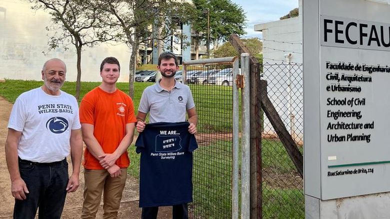
WILKES BARRE, Pa. — A project completed in Penn State Wilkes-Barre’s surveying engineering program has received international recognition in an industry publication.
“Realistic Virtual Reality Environments from Point Clouds” was featured in a story published by GIM International, a magazine that serves the geomatics industry and covers news and items of interest related to geomatics. The publication is distributed to thousands of industry professionals in 170 countries worldwide. Geomatics is the discipline of gathering, storing, processing and delivering geographic data or information.
The project was headed by Dimitrios Bolkas, assistant professor of surveying engineering, and Jeffrey Chiampi, assistant teaching professor of engineering. Vincent Pavill IV and John Chapman, who earned their degrees in surveying engineering in 2020, participated in the project, which was a sub-project of the group’s virtual reality project. It focused on creating a virtual environment using point cloud methods used in surveying for other uses such as mapping, three-dimensional modeling and monitoring.
Bolkas said GIM International’s editor read one of his publications in the International Journal of Image and Data Fusion and wanted to feature the group’s work in the magazine.
“I think it is great for professionals from around the world to read the important research that we do at Penn State Wilkes-Barre,” Bolkas said. “This shows that our research has an impact and is being noticed not just in the academic world, but also in the professional world.”
He said his students use the magazine in classes to read articles and write article reviews to help them find and explore new trends, methods and instruments in the profession.
“This article highlights the different uses of point clouds and how someone can use point clouds to create a virtual environment,” Bolkas said. “As virtual and immersive technologies advance, point clouds, 3D modeling and their integration with virtual reality is going to be an interesting future topic.”
Penn State Wilkes-Barre offers the only four-year accredited surveying engineering program in Pennsylvania, one of fewer than 30 such programs in the entire nation. The program is one of nine bachelor’s and four associate degree programs offered at the Wilkes-Barre campus.